Omneity® Pellets
All-In-One Vitamin & Mineral Pellet
| ISSN: | 0143-6228 (Print) 0143-6228 (Linking) |
| NLM ID: | 101085119 |
| (OCoLC): | 07622039 |
| LCCN: | 84641848 |
All-In-One Vitamin & Mineral Pellet
Advanced Gut Health Supplement
DHA-Enriched Fat Supplement
All-In-One Vitamin & Mineral Pellet
All-In-One Vitamin & Mineral Powder
Enhanced Vitamin & Mineral Pellet
Advanced Gut Health Supplement

Probiotic & Prebiotic Supplement

High-Potency 5-Strain Probiotic
All-In-One Vitamin & Mineral Pellet
Enhanced Vitamin & Mineral Pellet

Hoof, Skin & Coat Support
DHA-Enriched Fat Supplement
All-In-One Vitamin & Mineral Pellet

Organic Trace Mineral Blend
Enhanced Vitamin & Mineral Pellet
Mood & Hormone Support
Metabolic Health Formula
Mood & Hormone Support
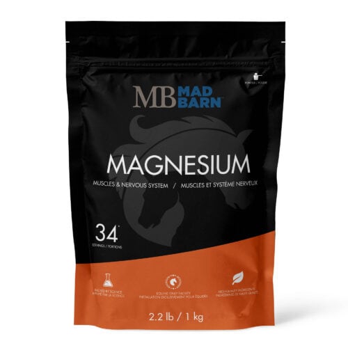
Muscles & Nerve Support
Advanced Gut Health Supplement
Advanced Gut Health Supplement

Respiratory & Performance Supplement
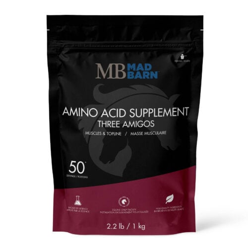
Essential Amino Acid Blend
Essential Amino Acid Blend
Muscles & Nerve Support

Performance & Muscle Support
Respiratory & Performance Supplement
DHA-Enriched Fat Supplement

Immune & Respiratory Support